
Days 97-109: Rutland, VT to Gorham, NH
Hi from the White Mountains—I made it back home. This has been the most physically demanding section of trail I’ve experienced so far, but also the most rewarding and special. It has been incredible to get to come back to the section of trail where I came into my own as a hiker and that convinced me to hike the Appalachian trail in the first place.
Before the Whites…
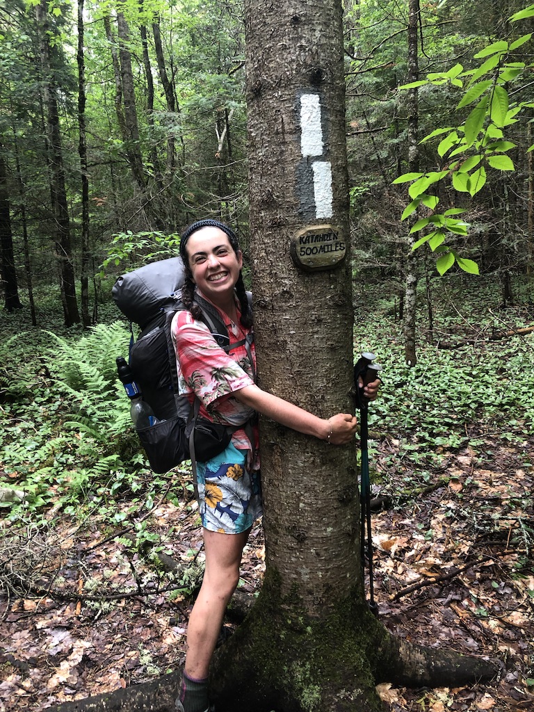
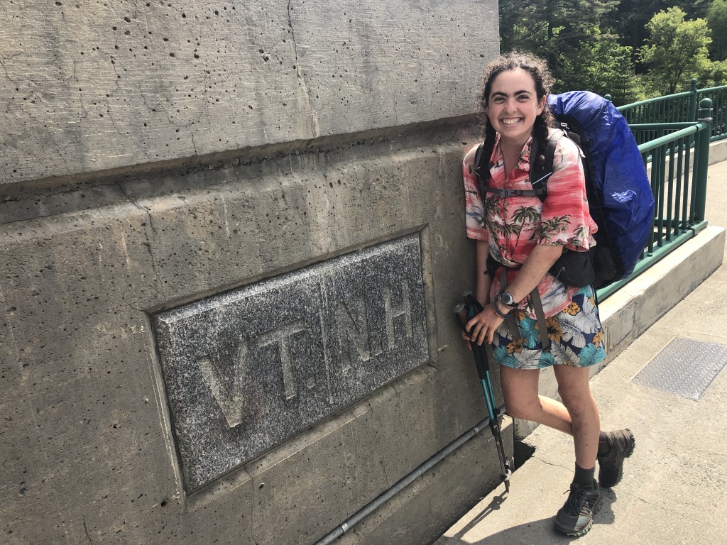
Since my last update I‘ve not only hiked most of the whites, but also another almost 100 miles of trail. In that span, I passed the marker that told me I have less than 500 miles to Katahdin (now I only have 320, ack), I submitted Killington, the only 4000-footer on the VT section of the AT, and crossed the VT/NH border on my 100th day on trail.
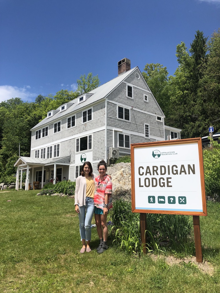
I also got to have the really special experience of going back for a visit to Cardigan Lodge where I worked last summer as a naturalist, about an hour from where the trail passes through Hanover. My former bosses and colleagues were so nice—they drove out of their way to come pick us up and let us stay for free in the lodge. It was a bit of an odd experience staying in the lodge as a guest and not feeling like I had to help out in the kitchen or lead a hike, but it was so lovely to take a zero at the quaint building and sit out by the pond, and revisit a place that was home to me recently!
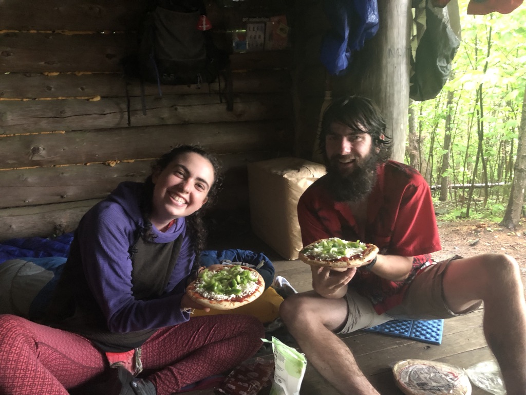
Also—we packed out pizza crust, tomato sauce, mozzarella, and fresh peppers and made pizza our first night out of town. Very heavy but worth it for the fun!
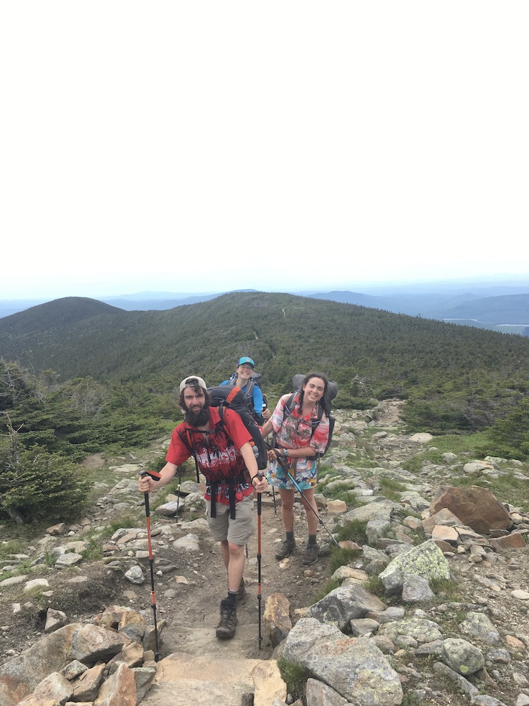
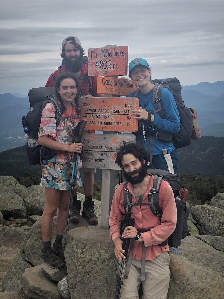
Moosilauke: Welcome to the Whites
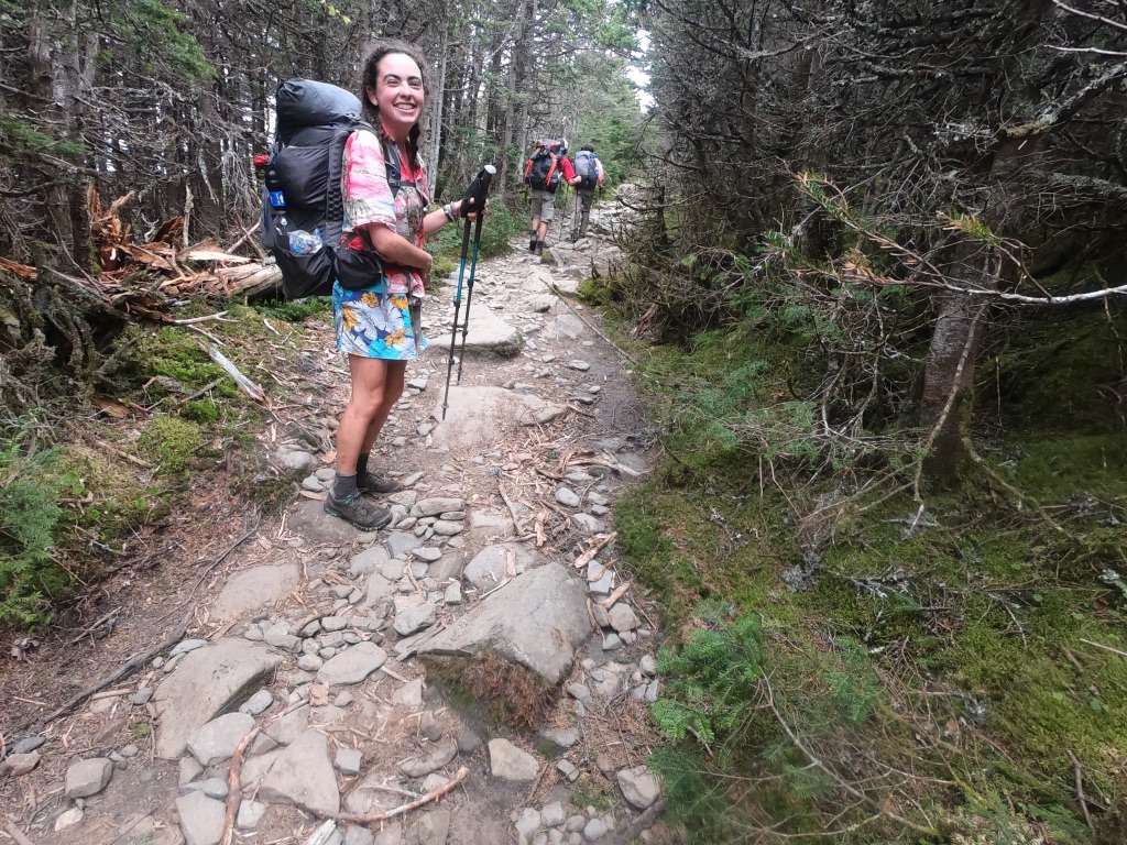
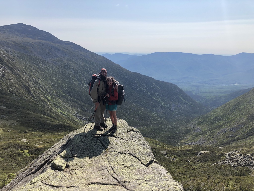
The climb up Mt. Moosilauke marked the entrance to the White Mountain National Forest. We heard that there was rain coming (and indeed it did), so we pushed a big day, hiking 25 miles the day before Moosilauke so we could hit the mountain in the sun. The 4000-foot climb over 4 miles was steep and unrelenting, just like I remembered, but I was giddy the entire time. And when we came out above treeline and walked the mile through the alpine to the summit, I felt like I was flying—I made it!
The Prezis: all four seasons
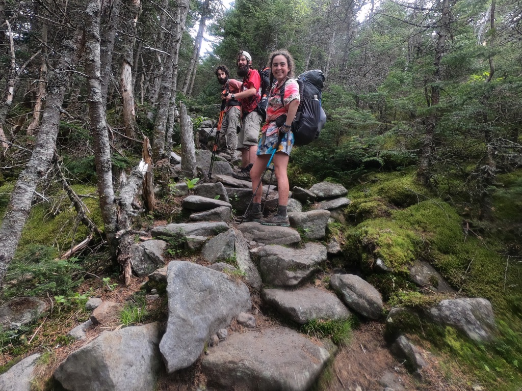
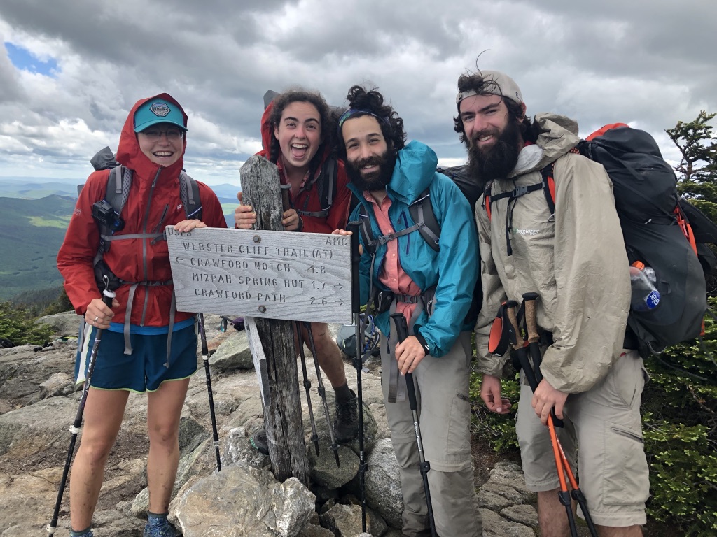
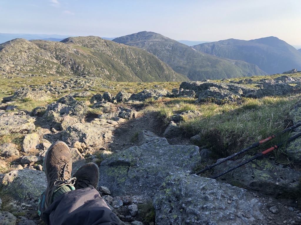
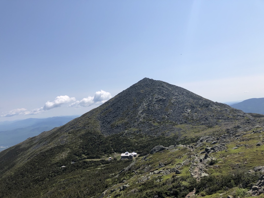
All of the mountains in the whites are amazing, but honestly, nothing can compare to the presidentials: they are the tallest mountains in the state and almost entirely above treeline, and therefore walking along the spine of the ridge feels incredibly grand and sweeping. The first day in the range we hiked the southern mountains: Webster, Jackson, Pierce, Eisenhower, and Monroe. I have never experienced such rapid weather changes in my life: dark rainclouds blew across the sky faster than I’ve ever seen, hitting us with anything from a few sprinkles to a quick hailstorm. But nothing lasted more than a few minutes, and then we’d have blue skies!
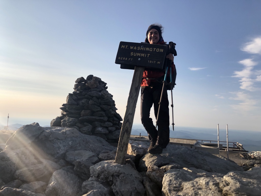
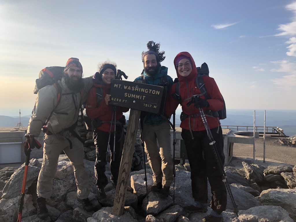
Even though I’ve hiked the range before, I found myself surprised at the difference between the southern and the northern presidentials. Compared to the southern peaks, the northern mountains are much more exposed, rocky, and unrelenting. Hiking through these peaks we had sunny skies, we also had high winds. On Washington, which is known for having the highest recorded wind speeds in the world, we felt gusts up to 80mph. These winds meant we were bracing ourselves with every step to avoid toppling over (don’t worry everyone I only got blown over once!), which made the 10 miles between Lakes of the Clouds and tree line feel more like 20.
It’s not all fun and games…
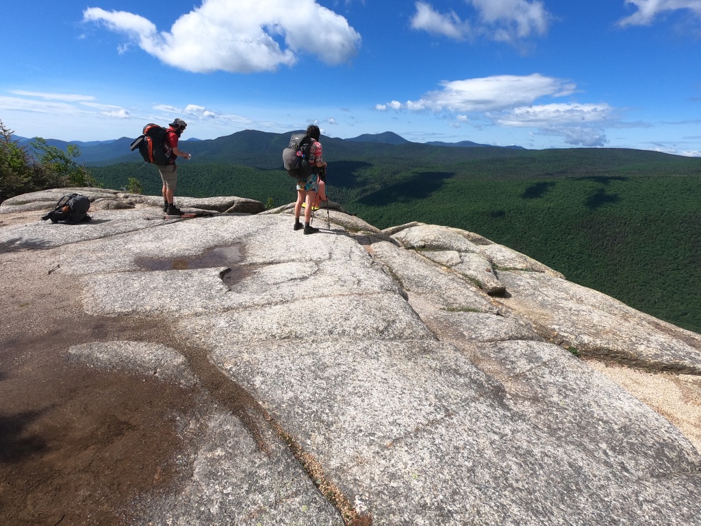
The Whites have had epic views and they‘ve filled me with so much joy, but they’ve also been REALLY hard. We’ve experienced all kinds of weather—two straight days of cold rain through Franconia Ridge, including a thunderstorm on Garfield, two minute hailstorms on Eisenhower, and high winds in the northern Presidentials. The terrain here is also like nothing else—in the past week I’ve hiked far and away the steepest ascents and descents on the trail. These type 2 fun conditions have been taxing, but it‘s made the experience: getting into camp every night after all the challenge I feel so accomplished.
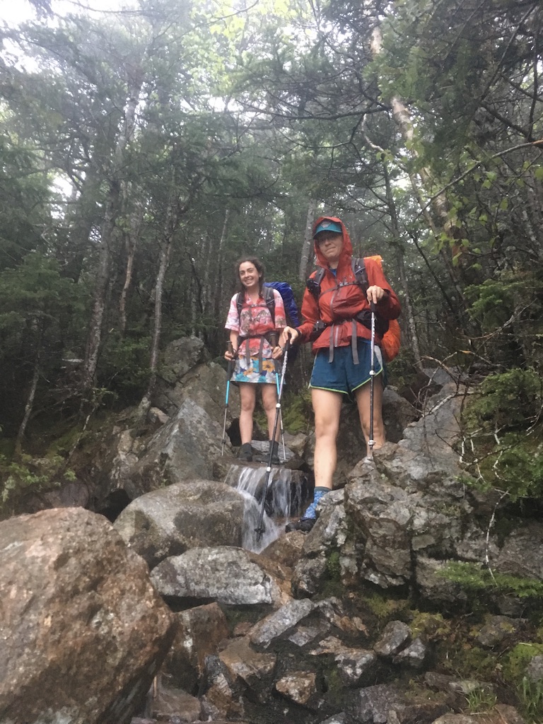
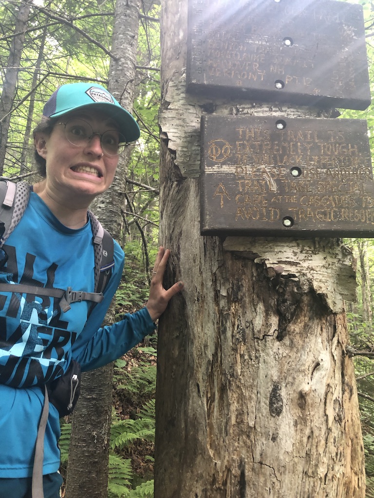
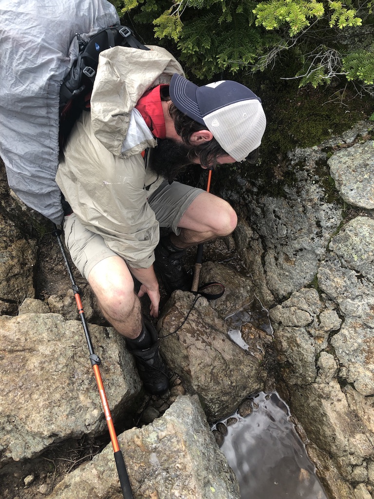
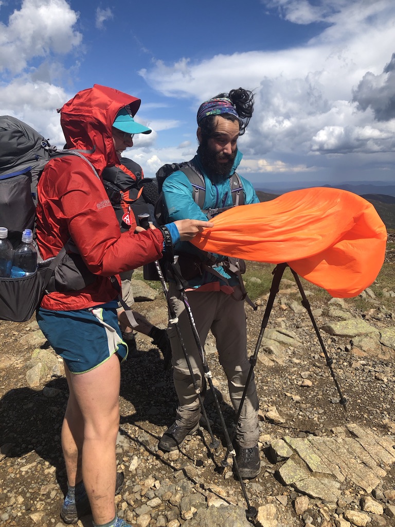
Pictured here are some of the highlights of these challenges: hiking down a literal waterfall coming down from Garfield, the sign at the end of our hike down Moosilauke describing the trail as “extremely tough” and warning against “tragic results,” and Blackbeard getting his foot stuck in some rocks and having to take his shoe off to get loose!
Working for stay
For those of you who don’t know what the whites are like, in addition to the tentsites and shelters that line the rest of the trail, the Appalachian Mountain Club, which maintains this section of trail, has 8 high mountain huts, which offer bunkrooms and homemade breakfasts and dinners for guests willing to pay the pretty expensive rates. BUT they’re kind to thru-hikers: every night each hut will let a few hikers sleep on the floor of the dining room and eat leftover food in exchange for doing a few chores. We did this at 2 huts: first at Zealand Falls Hut after our second straight day of cold rain. We were originally going to push 5 more miles that day to a shelter, but when we stopped in the warm hut, we knew we didn’t want to leave. The second was Lakes of the Clouds, which is above treeline and right at the base of the climb up to Mt. Washington. After our first day of crazy wind and microshowers through the southern presidentials, Lakes felt like sweet relief. Plus, they were serving Thanksgiving dinner that night, so we had tons of veggies and potatoes and cranberry sauce leftovers!
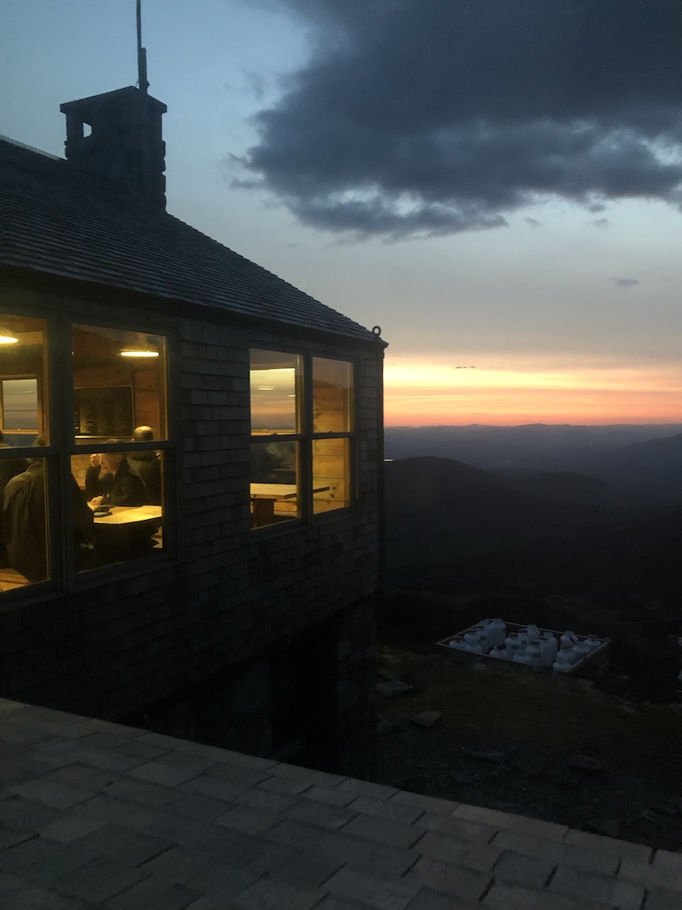
The left picture is Madison Hut at the northern edge of the presidentials, and the right is Lakes of the Clouds at sunset (which I took from the bathroom).
Coming up next
I have about 20 miles left in the Whites and then I head back to the hardest terrain on trail and the first miles I ever hiked on the AT…the Mahoosucs (and MAINE!).